For the past two years, we’ve been working on the field of data visualization, and a considerable percentage of the viz world consists of maps: choropleths, heatmaps, contour maps, and many more. Finding geometric data for specific areas of the world can sometimes get really hard. Even if you find it, usually the file ends up being huge or it doesn’t have the properties that you want.
Of course, in the case of getting a big file size, you can run it through Mapshaper to make it small enough, so it doesn’t take too long to load. In fact, we made a post about this 2 years ago.
THE TOOL
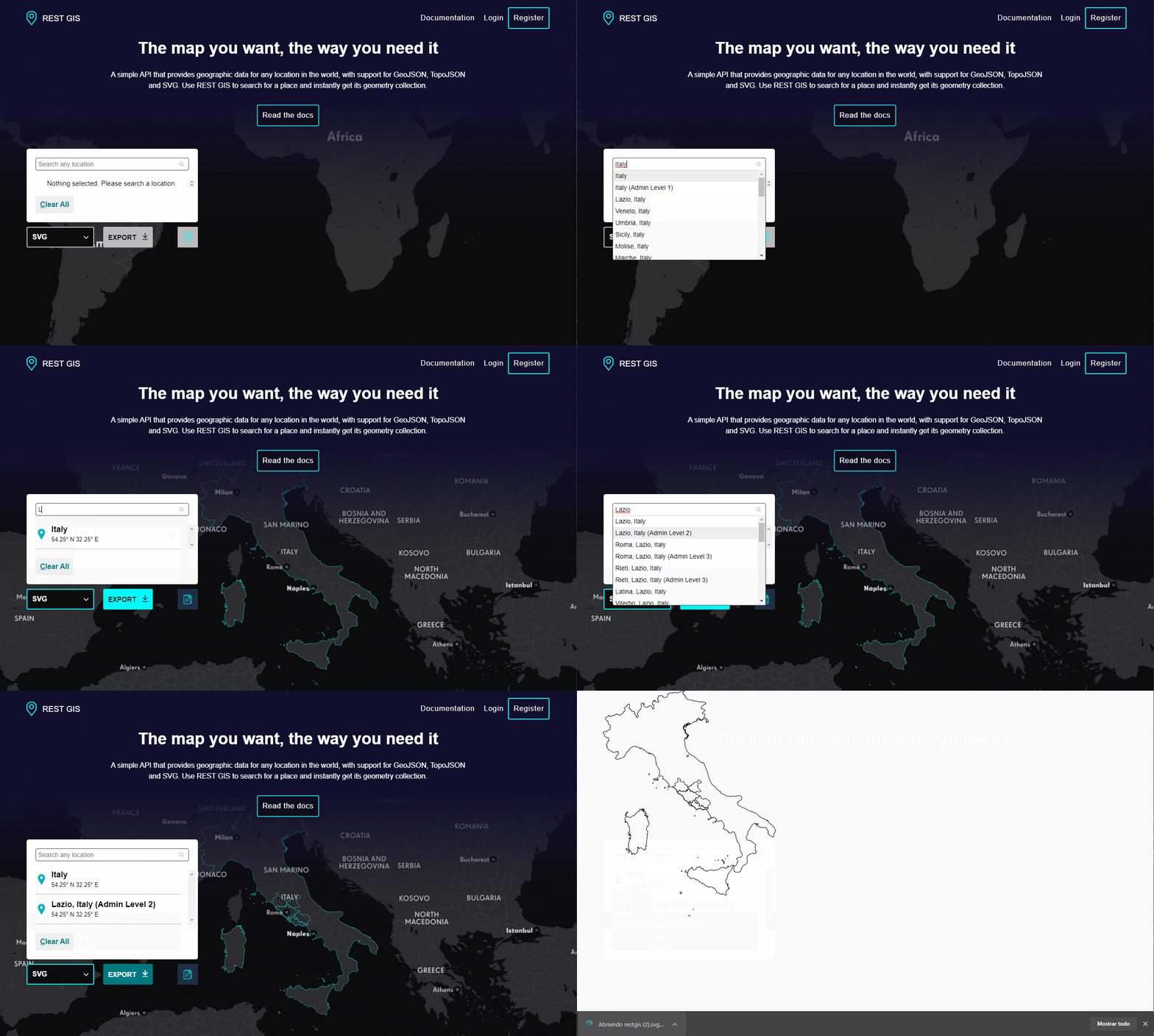
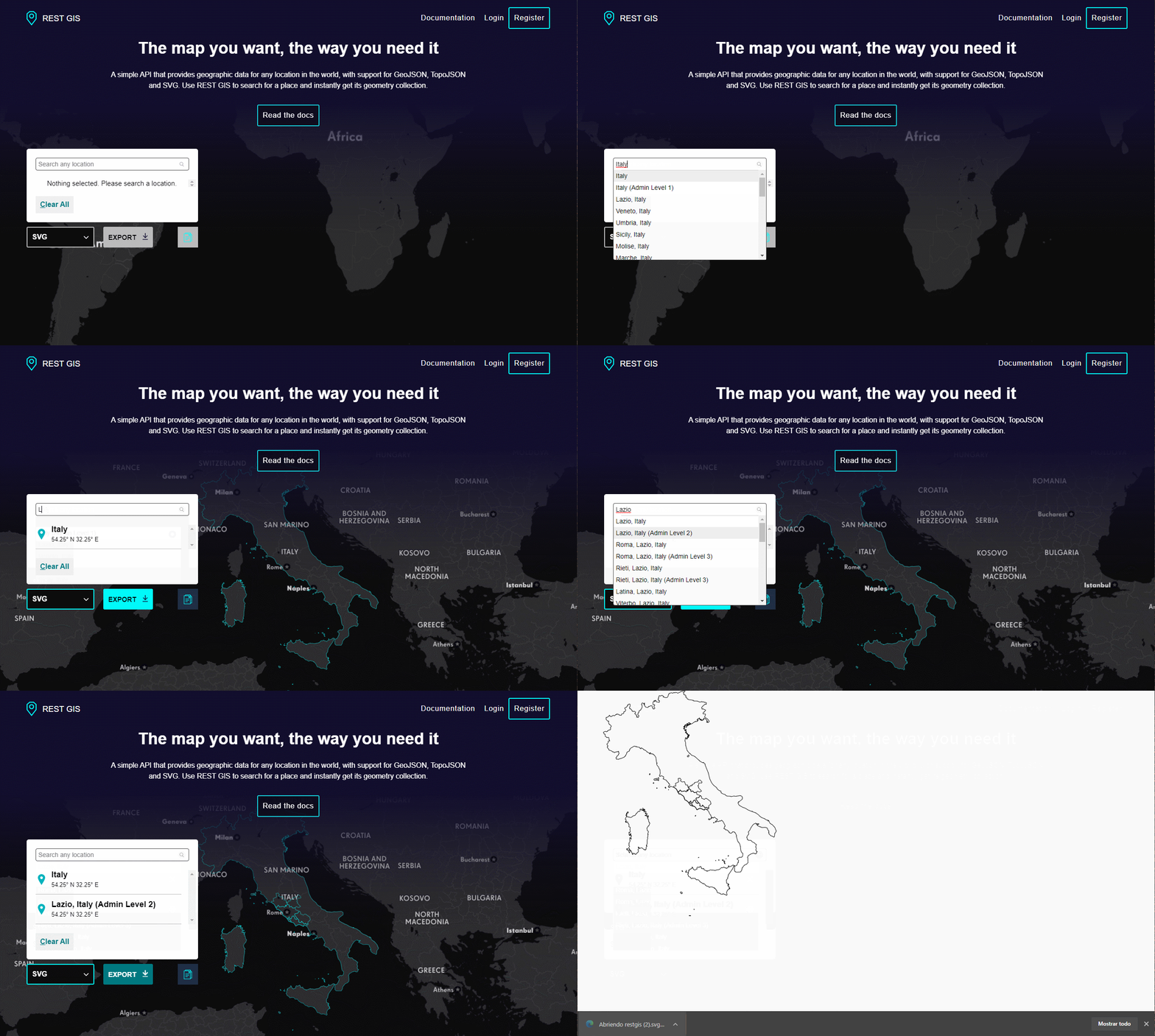
On that journey, the idea of a tool that could automate that tedious process began to emerge. Today we are proud to announce the release of RESTGIS, a tool that allows you to get a geographical representation in the format of your choice for any place in the world.
The tool is free to use and will let you find almost any place in the world. After that, you will be able to download the file in your desired format or even send it to the clipboard.

For now, we are only supporting SVG, GeoJSON and TopoJSON. We are planning to add PNG, JPG, Shapefile, and more.
THE REST
Another problem we found is how we have to consume these maps. Usually, a file or collection of files embedded on the frontend application. This is far from efficient, so we have also built a REST API that can be consumed directly on your application without storing the files by yourself. To use it, you will have to register and get an API KEY which will expire after 30 days, but don’t worry! You can get another one.
Within the API, we provide several ways of finding your desired features, for example:
- By name
- By a bounding box given by min and max latitude and longitude
- By region or subregion
- By country alpha-code-2 or alpha-code-3
- You can check out the documentation to find out more.
THE FUTURE
We are planning several more features. Like the ability to create your own custom maps, instance them, and then get them in your application through our API.
Another possible feature will be a tiling service of our default maps or your custom ones that you could consume with any of the mapping libraries out there. Roads, more admin levels, an interactive playground, and several more ideas.
Try it out, and let us know what you think! If there is any feature you would like us to add, please send us an email or use the contact form. https://restgis.com/


